GEN 2.3 CHART SYMBOLS
2.3.1. Aerodromes
2.3.1.1 Charts other than approach charts
|
Civil (land) |
 |
|
Civil (water) |
 |
|
Joint civil and military (land) |
 |
|
Joint civil and military (water) |
 |
|
Military (land) |
 |
|
Military (water) |
 |
|
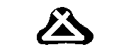
Emergency aerodrome or aerodrome with no facilities |
 |
|
Sheltered anchorage |
 |
|
Heliport |
 |
2.3.1.2 Approach Charts
|
The aerodrome on which the procedure is based |
 |
|
Aerodromes affecting the traffic pattern on the aerodrome on which the procedure is based |
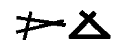 |
2.3.1.3 Aerodrome Charts
|
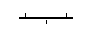
Hard surface runway |
 |
|
Unpaved runway |
 |
|
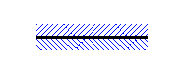
Stopway SWY |
 |
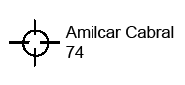
2.3.2. Aerodrome data
|
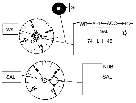
Elevation above sea level |
74 |
|
Minimum lighting |
L |
|
Runway hard surface |
H |
|
Length of longest runway in hundreds of meters |
14 |
|
Note: A dash ( - ) is inserted where L or H does not apply | |
 | |
2.3.3. Radio facilities
|
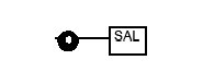
Non - directional radio beacon (NDB) |
 |
|
Distance - measuring equipment (DME) |
 |
|
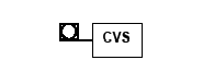
Co - located VOR and DME facilities |
 |
|
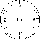
VHF omni - directional radio range (VOR) |
 |
2.3.4. Abbreviations
|
Aerodrome Control Tower |
TWR |
| Instrument Landing System |
ILS |
| Locator beacon |
L |
| Meteorological service |
MET |
| Approach control service |
APP |
| Area control center |
ACC |
| Flight information service |
FIS |
| Flight information region |
FIR |
| Terminal control area |
TMA |
| Control area |
CTA |
| Upper control area |
UTA |
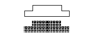
Example of combination of Airport facilities
2.3.5. Aerodrome Installations and Lights
|
Aerodrome reference point (ARP) |
 |
|
Taxiways and parking areas |
 |
|
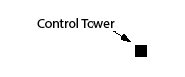
Control tower |
 |
|
Point light |
 |
 | |
|
Barrette |
 |
|
Obstacle light |
 |
|
Aeronautical ground light |
 |
|
Wind direction indicator (lighted) |
 |
|
Wind direction indicator (unlighted) |
 |
|
Landing direction indicator (lighted) |
 |
|
Landing direction indicator (unlighted) |
 |
|
Marine light |
 |
|
(Visibility range of marine lights are shown in nautical miles). Marine alternating lights are red and white unless otherwise indicated. Marine lights are white unless colours are stated. | |
|
Fixed |
F |
|
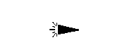
Flashing |
Fl |
|
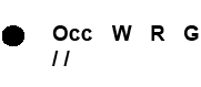
Occulting |
Occ |
|
Alternating |
Alt |
|
Group |
Gp |
|
Red |
R |
|
White |
W |
|
Blue |
B |
|
Green |
G |
|
Sector |
SEC |
|
Second |
sec |
2.3.6. Miscellaneous
|
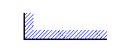
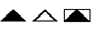
Highest elevation on chart |
 |
|
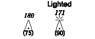
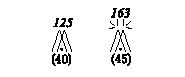
Obstacles |
 |
|
Group obstacles Note: Numerals in italics indicate elevation of top of obstacle above sea level. Upright numerals in parentheses indicate height above specified datum. |
 |
|
Restricted airspace (prohibited, restricted or danger areas) |
 |
|
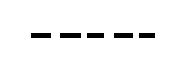
Common boundary of two areas |
 |
|
Air defence identification zone (ADZ) |
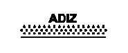 |
|
Transmission line or overhead cable |
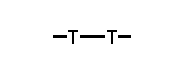 |
|
Isogonal |
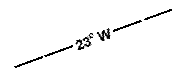 |
|
Boundary of flight information region (FIR) |
 |
|
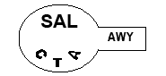
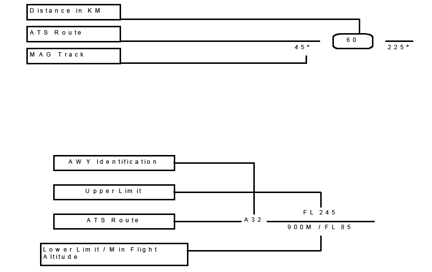
Control area and airway (AWY) |
 |
|
Control zone (CTR) |
 |
|
Reporting point (compulsory and non - compulsory) and ATS / MET |
 |
|
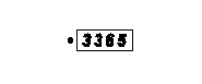
Customs aerodrome |
 |
2.3.7. Topographical symbols
NIL